Drone Surveying
This is a subtitle for your new post
Innovative Surveying with DJI Phantom 3: Creating Digital Terrain Models (DTM)
Drone technology has revolutionized surveying practices, offering unprecedented capabilities in data collection and analysis. Among the pioneering drones in this field is the DJI Phantom 3 series, renowned for its reliability, ease of use, and advanced imaging capabilities. Let's explore how the DJI Phantom 3 can be utilized to create Digital Terrain Models (DTM) and revolutionize surveying processes.
1. Introduction to DJI Phantom 3 in Surveying
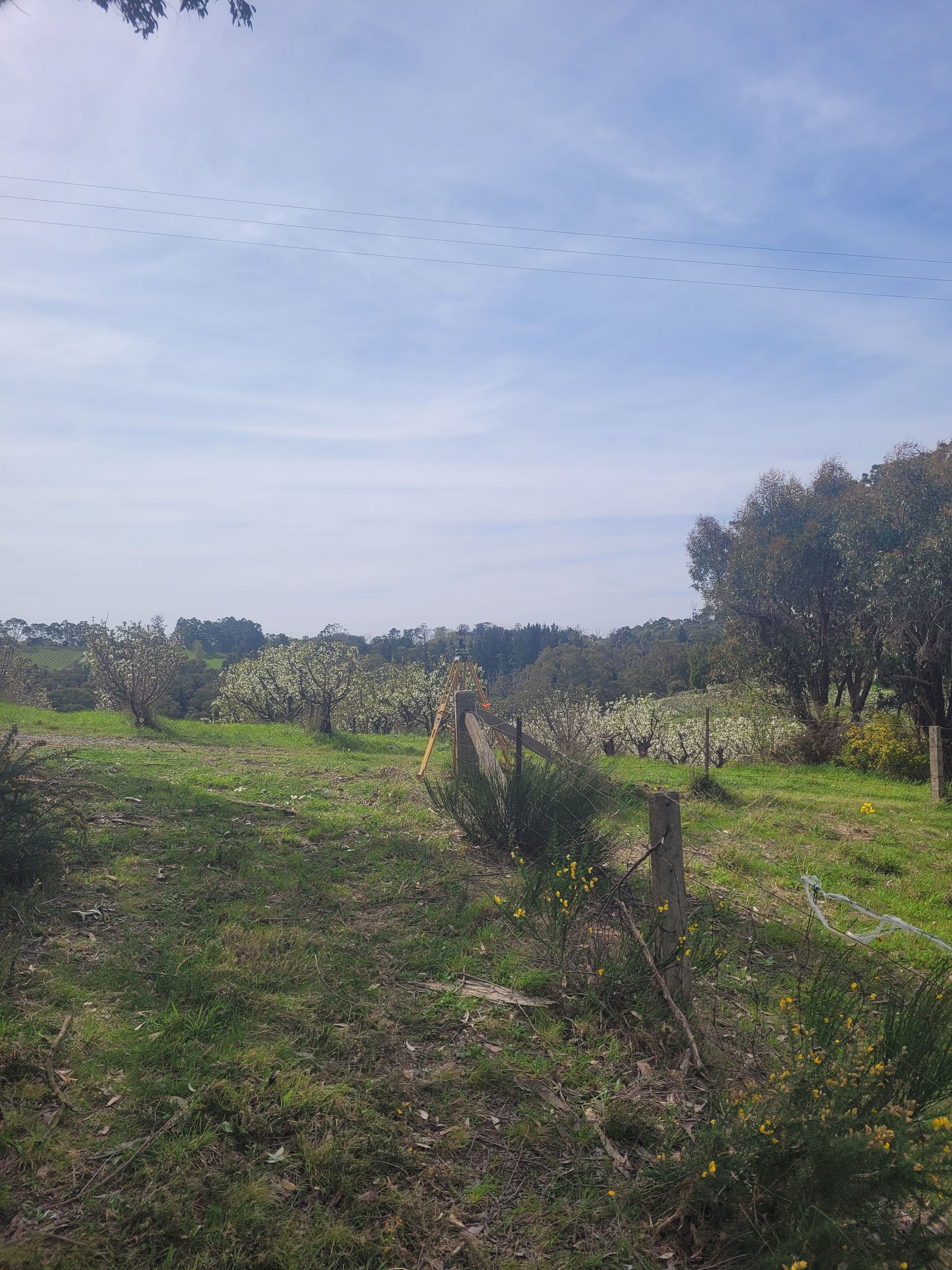
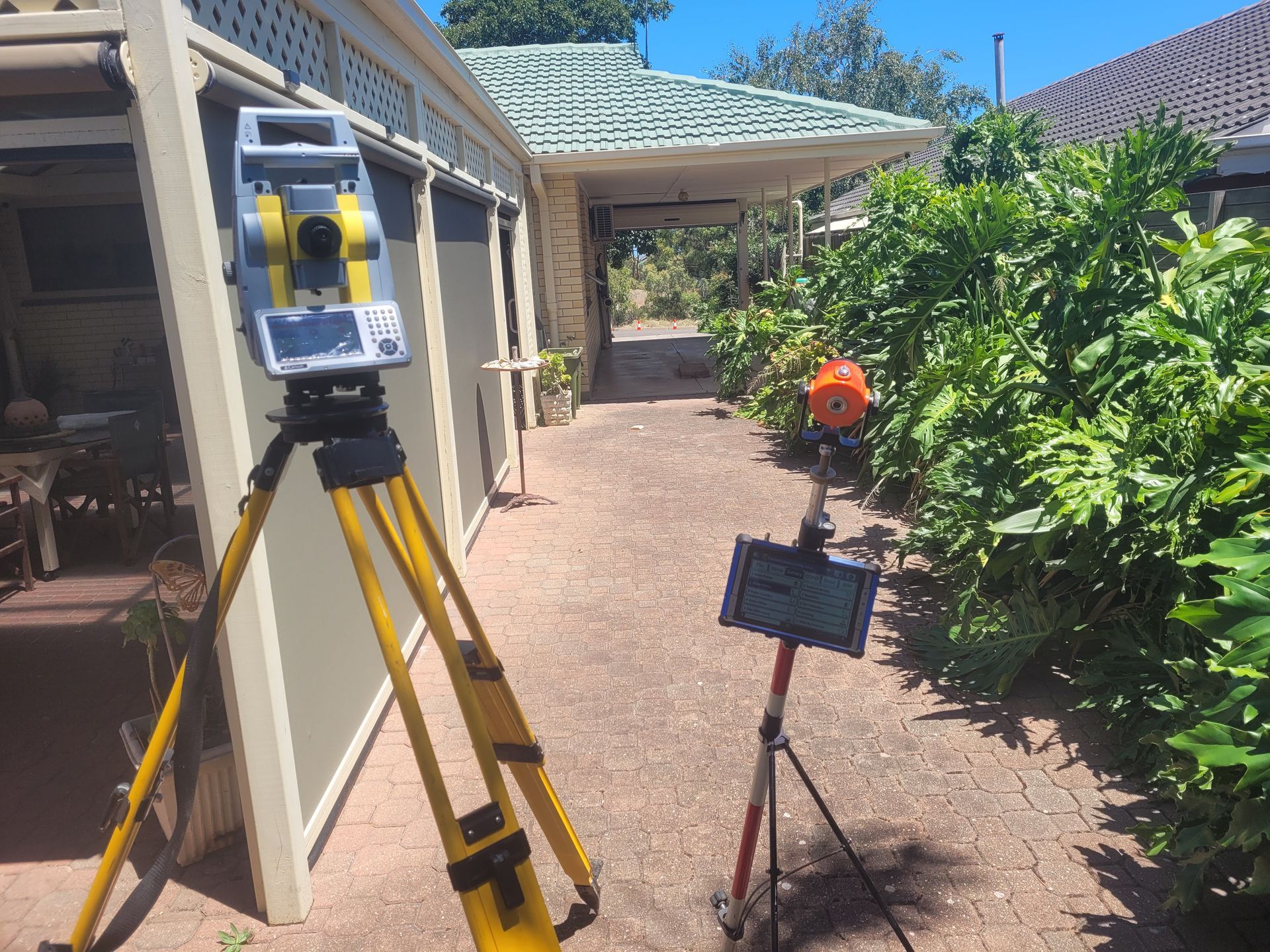
The DJI Phantom 3 is a versatile tool equipped with high-resolution cameras and precise GPS positioning systems. These features make it ideal for capturing detailed aerial imagery needed to generate accurate Digital Terrain Models. Whether for construction site surveys, land development planning, or environmental monitoring, the Phantom 3 excels in providing comprehensive data.
2. Capturing High-Resolution Imagery
The key to creating precise Digital Terrain Models lies in the quality of the data captured. The Phantom 3's camera can capture high-resolution images with excellent clarity and detail. Its stability and control mechanisms ensure that each image is sharp and georeferenced, essential for creating accurate DTMs.
3. Generating Digital Terrain Models (DTM)
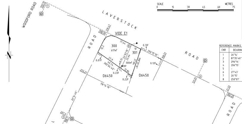
Once aerial imagery is captured using the Phantom 3, specialized software processes these images into Digital Terrain Models. Photogrammetry software analyzes overlapping images to create 3D models of the terrain. These models accurately represent the elevation and contours of the land, crucial for various engineering and planning applications.
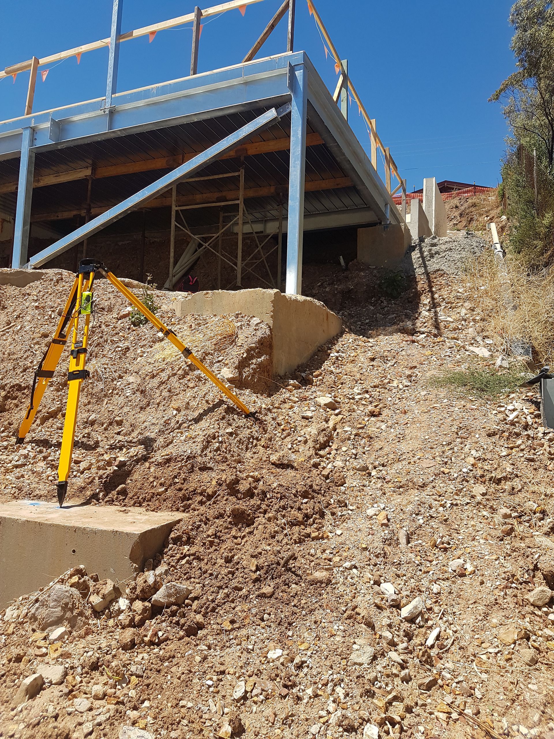
4. Applications in Engineering and Construction
Digital Terrain Models derived from Phantom 3 surveys are invaluable in engineering and construction projects. They provide engineers and architects with essential data for site planning, grading, and drainage design. By visualizing the terrain in 3D, stakeholders can make informed decisions, optimize designs, and reduce costly errors during construction.
5. Environmental Monitoring and Land Management
Beyond construction, the Phantom 3's surveying capabilities support environmental monitoring and land management efforts. From assessing erosion patterns to monitoring vegetation health, DTMs enable detailed analysis of changes in natural landscapes. This information aids in conservation planning, resource management, and disaster response preparedness.
6. Advantages Over Traditional Methods
Using the DJI Phantom 3 for surveying offers numerous advantages over traditional methods. It reduces the time and cost associated with field surveys by eliminating the need for extensive ground-based measurements. Moreover, it enhances safety by minimizing personnel exposure to hazardous terrain and improving data accuracy through precise aerial imaging.
7. Future Innovations and Integration
As drone technology evolves, so too will its applications in surveying. The integration of LiDAR (Light Detection and Ranging) and multispectral sensors with the DJI Phantom 3 opens new possibilities for advanced surveying tasks. These sensors can capture additional data layers, such as detailed elevation profiles and vegetation indices, further enhancing the utility of DTMs in diverse industries.
Conclusion
The DJI Phantom 3 has transformed surveying practices by enabling the creation of accurate Digital Terrain Models with unprecedented efficiency and precision. Its combination of advanced imaging capabilities, ease of use, and safety features makes it a preferred choice for professionals across engineering, construction, environmental science, and beyond. As drone technology continues to evolve, the DJI Phantom 3 remains at the forefront of innovation in surveying, promising even greater advancements in data-driven decision-making processes.
In conclusion, the DJI Phantom 3 exemplifies the transformative impact of drone technology in surveying, paving the way for more efficient, accurate, and insightful data collection and analysis through Digital Terrain Models.