What is Cadastral Surveying?
This is a subtitle for your new post
Cadastral surveying stands as a foundational practice that shapes the landscape we inhabit. But what exactly is cadastral surveying, and why is it crucial in modern society? Let's delve into this essential field and explore the myriad benefits it offers to individuals, communities, and governments alike.
Understanding Cadastral Surveying
At its core, cadastral surveying is the discipline concerned with accurately delineating and defining land parcels, boundaries, and rights of ownership. Originating from the Latin term "cadastre," meaning a public record of land ownership, cadastral surveying encompasses a range of techniques and methodologies aimed at mapping and documenting land tenure systems.
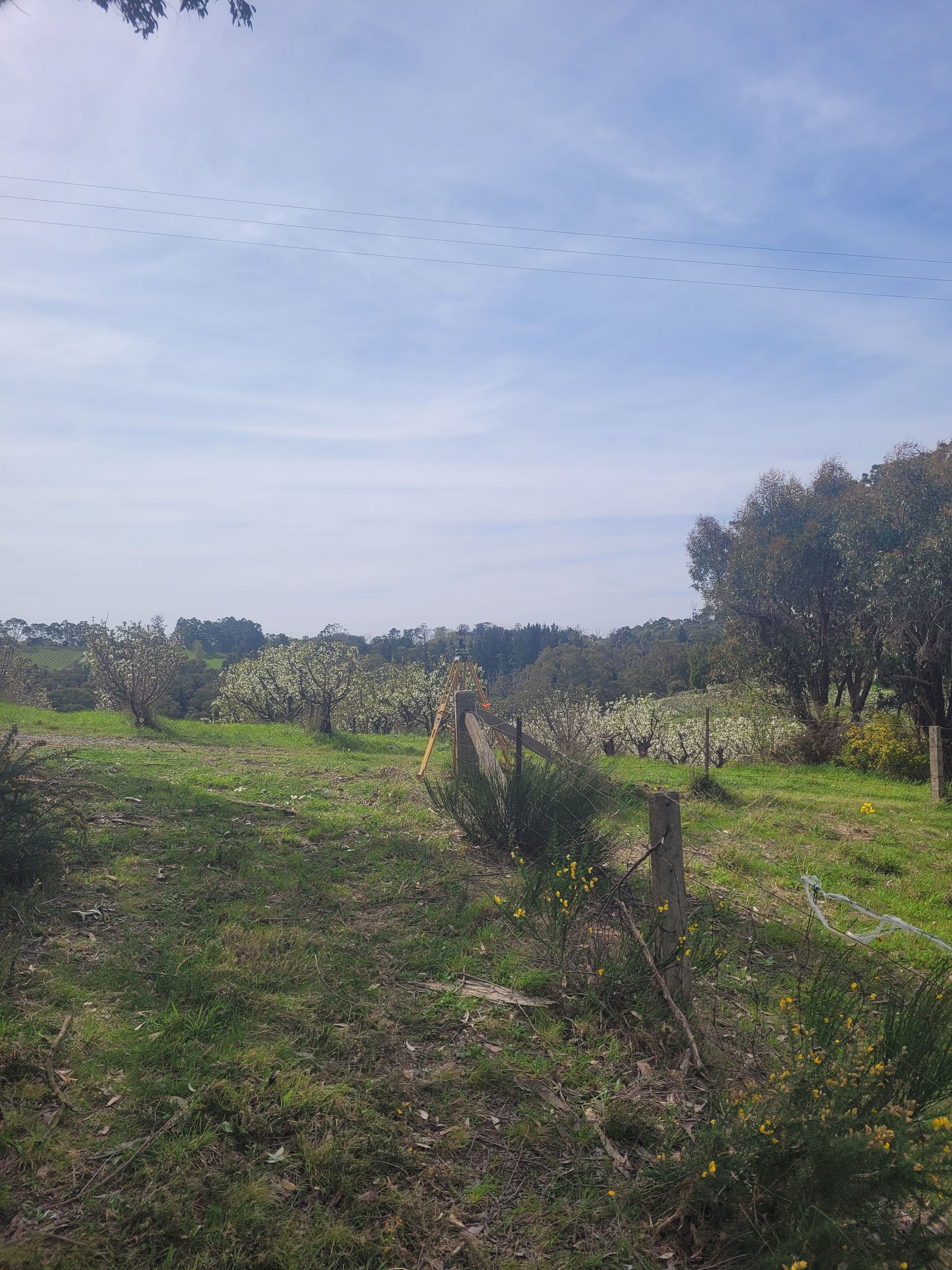
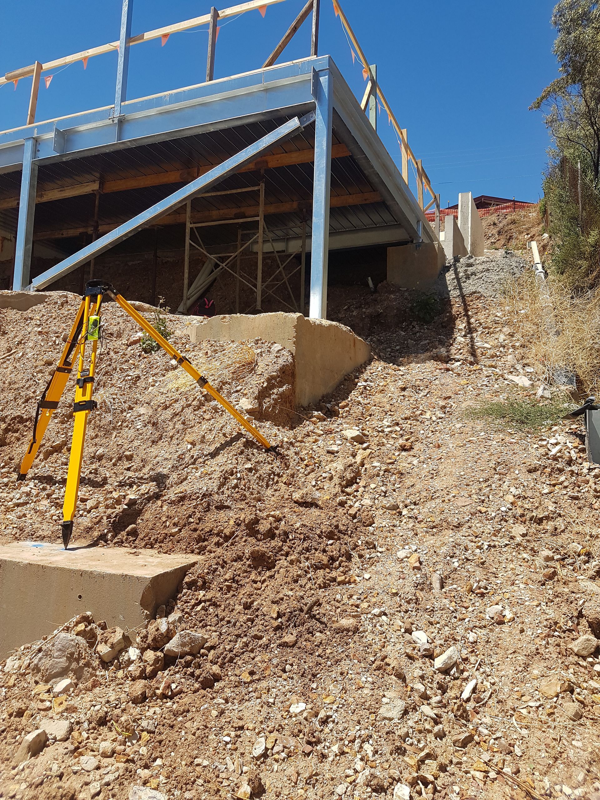
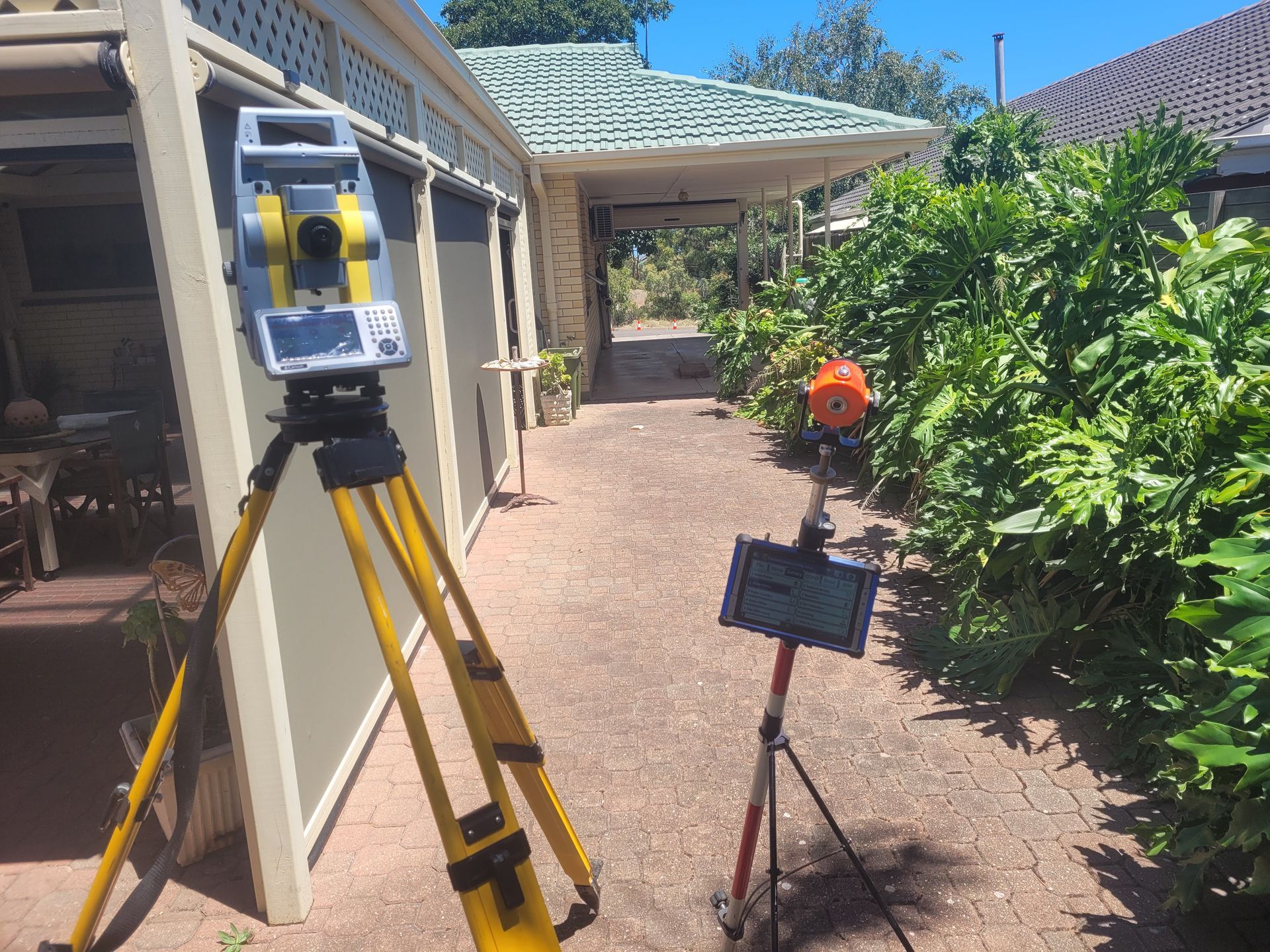
Cadastral surveyors utilize a combination of advanced surveying instruments, including total stations, GPS receivers, and Geographic Information Systems (GIS), to precisely measure and demarcate property boundaries, easements, and land subdivisions. By adhering to established legal frameworks and survey standards, cadastral surveyors ensure the integrity and validity of land records, facilitating transparent land transactions and preventing disputes over property rights.
Benefits of Cadastral Surveying
The importance of cadastral surveying transcends mere cartography, offering a multitude of benefits that underpin sustainable land management, economic development, and social equity. Here are some key advantages:
Cadastral surveys provide clarity and certainty regarding property boundaries and ownership rights, reducing ambiguity and mitigating conflicts between neighboring landowners. By maintaining accurate cadastral records, governments can efficiently manage land resources, enforce zoning regulations, and facilitate land taxation and revenue collection.
Cadastral surveys support urban planning initiatives by identifying suitable sites for infrastructure development, urban expansion, and public amenities, thereby promoting orderly growth and sustainable land use. Accurate cadastral data is essential for disaster preparedness and emergency response efforts, enabling authorities to assess vulnerability, plan evacuation routes, and coordinate relief efforts in times of crisis. Clear and reliable land tenure systems attract investment, stimulate economic activity, and foster entrepreneurship by providing investors with confidence in property rights and land tenure security.
Cadastral surveys play a vital role in natural resource management and environmental conservation by identifying ecologically sensitive areas, delineating protected zones, and regulating land use practices to minimize environmental degradation. By formalizing land tenure rights and ensuring equitable access to land resources, cadastral surveys contribute to poverty alleviation, social inclusion, and empowerment of marginalized communities, particularly in rural areas.
Cadastral Surveyor in Adelaide
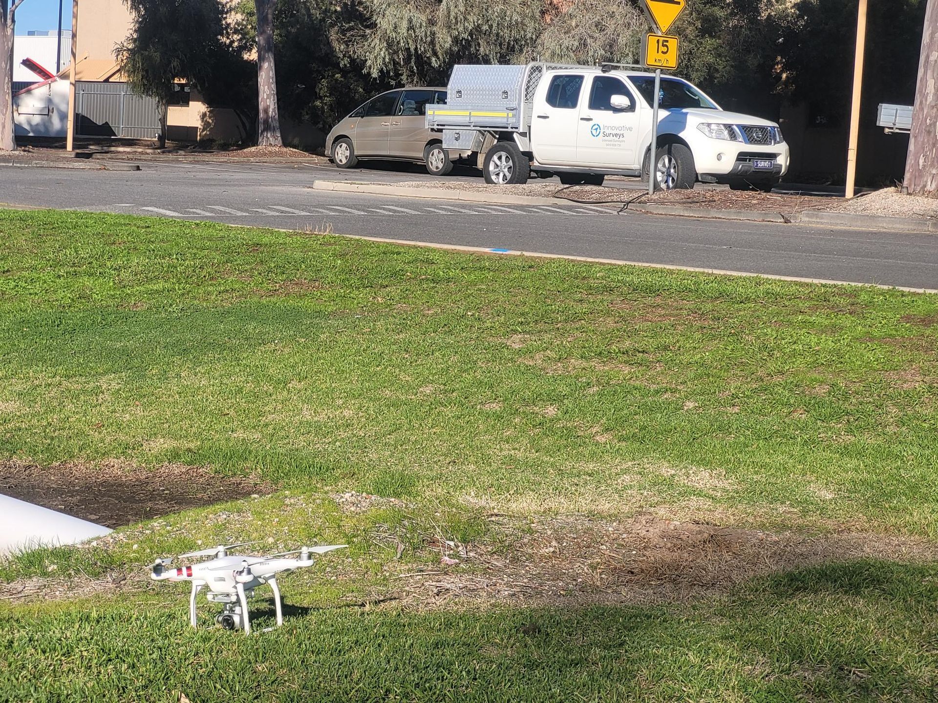
In Adelaide and surrounding areas, one name stands out for exemplary cadastral surveying services: Innovative Surveys. With a proven track record of delivering accurate and reliable survey solutions tailored to the unique needs of clients, Innovative Surveys is your trusted partner for all cadastral surveying requirements.
Whether you're a property owner seeking to clarify boundaries, a developer planning a new subdivision, or a government agency tasked with land administration, Innovative Surveys offers the expertise, technology, and dedication to ensure the success of your project. Backed by a team of qualified surveyors and state-of-the-art surveying equipment, Innovative Surveys delivers results that exceed expectations, empowering clients to make informed decisions and unlock the full potential of their land assets.
Don't leave your land tenure matters to chance. Contact Innovative Surveys today to experience the difference that professional cadastral surveying can make in securing your property rights, promoting sustainable development, and building a brighter future for generations to come.


